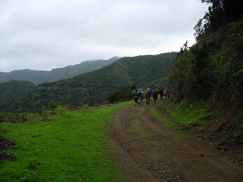
We spent day two and day three hiking La Gomera. We joined groups of German-speaking trekkers organized by Timah Travel, which arranged transit to the trail head, and back to town at the end of the hike, and provided a sure-footed guide so we weren't lost in the mountains.
On our first hike, known officially as "Forest of Fables," we walked through the northwestern part of Garajonay National Park. UNESCO has designated the park a World Heritage Forest in acknowledgement of its unique ecosystem.
We didn't get any photos that do justice to the twists and turns--not to mention the vistas--as the driver navigates through Valle Gran Rey. But if you look at this topographical map and follow the road with your eye, you'll get some notion of what I'm talking about.
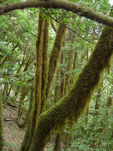
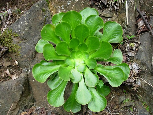
What makes the ecosystem so unusual? Because the island rises dramatically out of the ocean, there are huge variations in elevation, so within a very small area, the temperature varies significantly. Another factor is that the prevailing winds bring moisture from the north, meaning that the northern slope of the island is wetter than the southern side. So La Gomera has what are called "micro-climates." Furthermore, the Canary Islands were completely unaffected by the ice age, which means that you find plants there that you don't find elsewhere. And because the island is remote and rocky, parts of the forest have been left pretty much the way they always were.

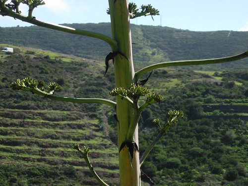


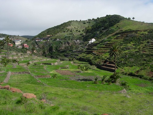
As you emerge from the forest and climb down the hill, the air gets warmer, and there are more traces of human activity. The island is covered with old, mostly unmaintained terraces. (These days, there are easier ways to get food than to terrace a cliff.)
On day three we tackled another hike, "The Scenic Way." Our first target was the peak of Garjonay, the highest point on the island (1,437 meters / 4,714 feet). Regrettably, the clouds were not cooperating, and we merely shivered in the mist.
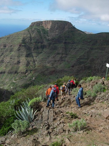
Our second target was La Fortaleza (1,243 meters / 4,078 feet). It's not an easy peak to photograph from up close, because you actually can't see how tall and large it is. So let's paint the scene by showing you this big scary rock from a distance.
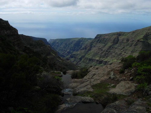
The hike to Fortaleza is gorgeous. One thing that really struck us is that you can't tell where the ocean ends and the sky begins. Actually, because you're looking down from high up, the horizon line is much higher than you might think.
Fortaleza means fortress, and according to legend, a group of native Gomerans fought their last stand against the Spanish conquerors there. It would be an ideal defensive position. But according to the story, when the aboriginals concluded they couldn't hold off the Spaniards, they threw themselves off a cliff. The story also goes that they were blonde, and that their suicide meant there were no more blondes on the island. Until the Germans arrived, I suppose.
The climb up induces vertigo, the climb down, panic. You get a bit of a sense of the steepness in this photo.
0 comments:
Post a Comment